Indoor wayfinding and navigation for conferences, exhibitions, and festivals
Whether it’s a conference, exhibition, airshow or music festival, attendees need to navigate events frictionlessly - and organisers need the data to prove ROI.

Learn how location-aware apps can transform live events
Better Navigation
Exhibitions can deliver 20% more value to visitors and exhibitors by improving wayfinding and discovery, so that visitors are able to find all the exhibitors they're looking for.
Exhibitor Sales
Major exhibitions have seen double digit increases in rebook using stand-level footfall and dwell data gathered from their app users
Sponsor sales
Crowd Connected's reports provide quantitative evidence of the brand exposure and engagement that sponsors achieve.
Operations and Safety
Crowd Connected's incident response feature helps the public feel safe at all times, and reduces incident response times significantly.

Why use Crowd Connected?
Privacy
Background location data is only collected on your site, addressing important privacy concerns.
Real time
Access to visualisations, charts and reports in real time, during your event.
Quick and easy to deploy
For indoor positioning, battery powered beacons can be installed in a few hours. Outdoors it's a software only solution with no hardware needed at all.
Data access 365
Event organisers have access to the platform year-round, so every part of the annual cycle benefits.
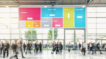
Large events are hard to navigate. Signage only works when people are looking up - and in a world where attendees have their phones in hand, they expect digital wayfinding to do the work for them. The trouble is, Google Maps and Apple Maps don’t cover event interiors, and they certainly don’t know where this year’s exhibitors are located.
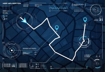
Crowd Connected’s event navigation solution combines interactive floor plans with blue dot indoor positioning, giving attendees the same familiar wayfinding experience indoors that GPS provides outside. It works across conferences, trade shows, exhibitions, festivals, and sporting events - anywhere people need to find their way around a complex space.
How event navigation works
The attendee opens the event app and sees an interactive map of the venue with their position shown as a blue dot - updated every second. They can search for exhibitors, sessions, or facilities, and the app guides them there. Behind the scenes, low-cost Bluetooth beacons installed throughout the venue provide the positioning data, while Crowd Connected’s self-calibrating algorithms ensure accuracy without any fingerprinting or manual calibration.
For outdoor events and festivals, no hardware is needed at all - the solution uses GPS and the smartphone’s own sensors.
Event navigation by event type
Conferences: Help delegates find the right session room, navigate between tracks, and discover networking spaces. Reduce late arrivals and missed sessions by making wayfinding effortless.
Trade shows and exhibitions: Exhibitors invest heavily in their presence - but if visitors can’t find them, that investment is wasted. Indoor wayfinding has been shown to increase exhibitor discovery by up to 20%, directly improving rebook rates and exhibitor satisfaction.
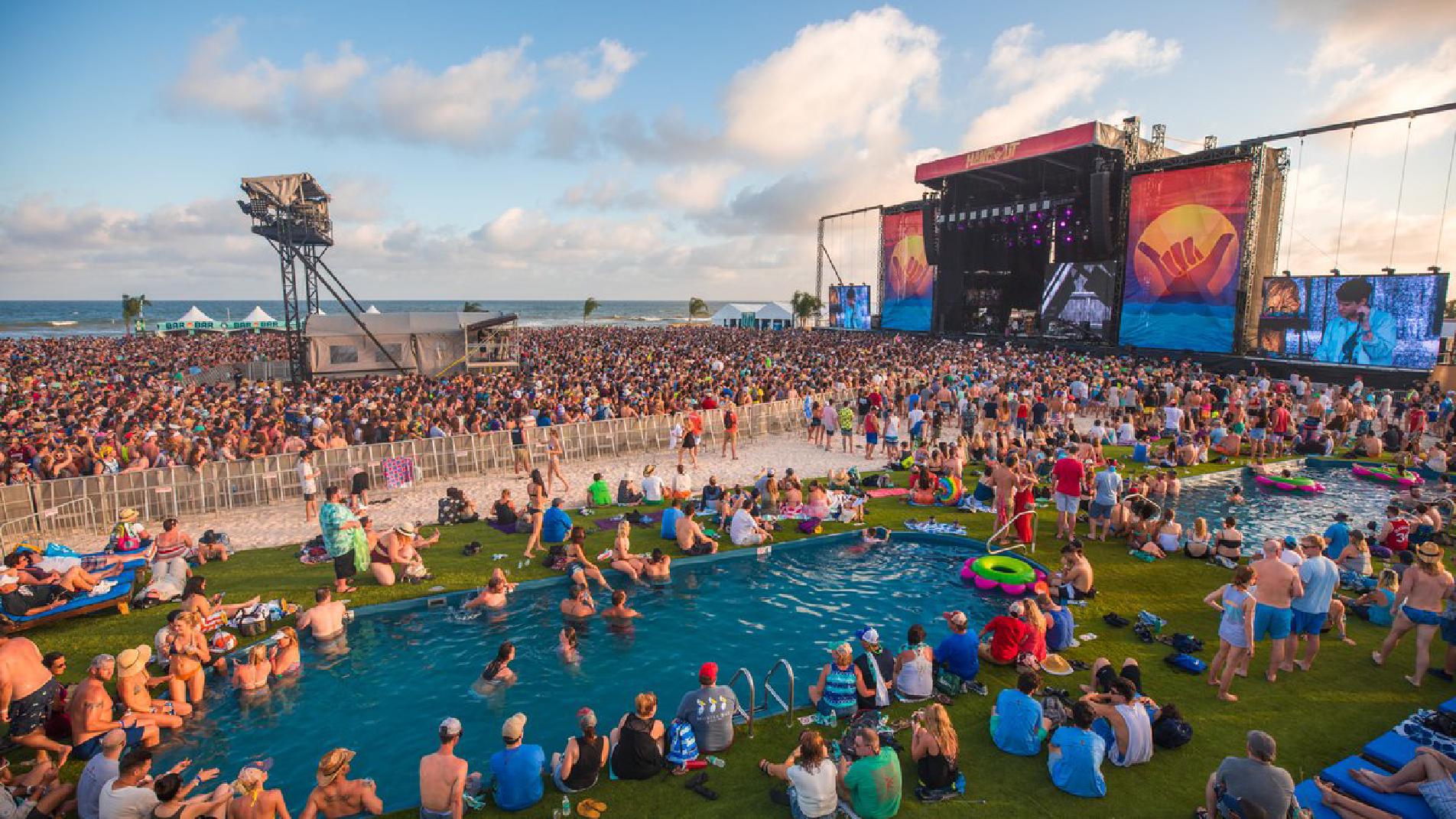
Festivals and outdoor events: Large festival sites can span hundreds of acres. GPS-powered navigation helps attendees find stages, food vendors, facilities, and meeting points without relying on paper maps or volunteer directions.
Sporting events and venues: Guide spectators to their seats, concession stands, and exits. Real-time occupancy data helps operations teams manage crowd flow and improve safety.
Beyond wayfinding: the data that event navigation generates
Every wayfinding interaction produces valuable location data. Crowd Connected’s platform turns this into actionable insights for organisers, including foot traffic heatmaps and flow analysis, stand-level and session-level dwell time, sponsor exposure measurement with quantitative evidence, and real-time occupancy monitoring for safety and operations.
This data is available during the event (not just afterwards), so organisers can make real-time decisions about signage, staffing, and session capacity.
Get updates and insights from Crowd Connected
Thank You
Thank you for submitting your details. You're signed up to our newsletter!
Sorry
There was a problem submitting this form. Please check your entries, ensure you're online, and try again.