Vegas venues get smart to blue dot wayfinding
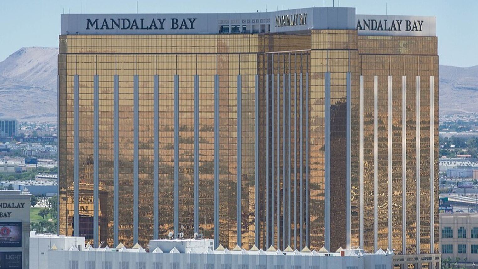
Mandalay Bay Convention plays host to IMEX America, one of the world’s largest trade shows for the global meetings, events and travel industry.
With over 2.1million square feet of event space, the Mandalay is Las Vegas’s third biggest indoor event space; only the recently refurbished LVCC (Las Vegas Convention Centre) at a whopping 4.2million square feet and The Venetian (also weighing in at over 2million) are larger.
You may be struggling to visualise just how huge 2million+ square feet is (or approximately 200,000 square meters, if you are a metric-nome). A typical New York City block covers about 200,000 square feet. So a venue like the Mandalay covers about 10 city blocks. Or, for the sports fans, roughly the size of 35 American Football fields.
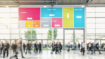
The larger the space, the harder it is to navigate. Even decent signage doesn’t work as well as it used to. That’s because we’re now hooked on our phones – head down, not up. There’s an expectation that our phones will do the wayfinding for us.
The problem is Google and Apple Maps’ indoor renditions of large convention spaces are rudimentary at best. They don’t typically show all the different floor levels. And never the considerable temporary infrastructure of a large trade show like IMEX, which is why a fully interactive map is a must (like the IMEX one here), to help attendees navigate the entire event footprint.
That applies almost as much to returning attendees (who will be more acquainted with the venue) as to new ones. Each year the layout is different. And in the case of IMEX, expanding, with a show floor significantly bigger year on year.
We’ve all become hooked on blue dot navigation (GPS) to get around outside, but to create that same familiarity inside, an Indoor Positioning System (IPS) is needed (in addition to the interactive map) to accurately locate the phone.
This is because the satellite signals that power GPS just don’t penetrate large buildings. That means the GPS chip on your phone returns increasingly inaccurate positions. We see this on apps like Google Maps with a larger and larger halo circle around the blue dot, indicating that you could be anywhere within the circumference of the halo circle – and almost certainly not at the centre of it, despite this being where the pulsing blue dot is painted.
But that wasn’t the case for the 17,000 visitors to the Mandalay for IMEX. Crowd Connected’s Indoor Positioning technology ensures an accurate blue dot.
Indoor positioning is certainly not new to Vegas venues. Back in 2012 The Venetian first dabbled with indoor wayfinding by adding Meridian Indoor Navigation for their app “VP Pocket Concierge”. This used the Wifi access points, but the resulting user experience was underwhelming. The app quietly vanished several years ago.
What is new is that the latest Indoor Positioning technology, such as Crowd Connected’s IPS – in this case using low-cost Bluetooth hardware combined with smart positioning code embedded into a mobile app – enables reliable indoor navigation across multiple levels of any venue. And the user experience is first rate, combining an interactive map with an accurate blue dot position that is updated every second.
As a result, the use of indoor positioning in Vegas venues is booming – driven by events hosted there. Visitors to Money2020 at The Venetian can once again navigate the entire event footprint seamlessly thanks to the indoor mapping and wayfinding system.
The Mandalay and The Venetian join a growing list of smart venues where digital wayfinding in event spaces is fast becoming the norm. If you have been to recent events at the LVCC, the Wynn, Caesars Forum or the Aria, or you may well have experienced the benefit.
The next smart move for Vegas venues? Perhaps rolling out the same blue dot wayfinding experience for resort guests.